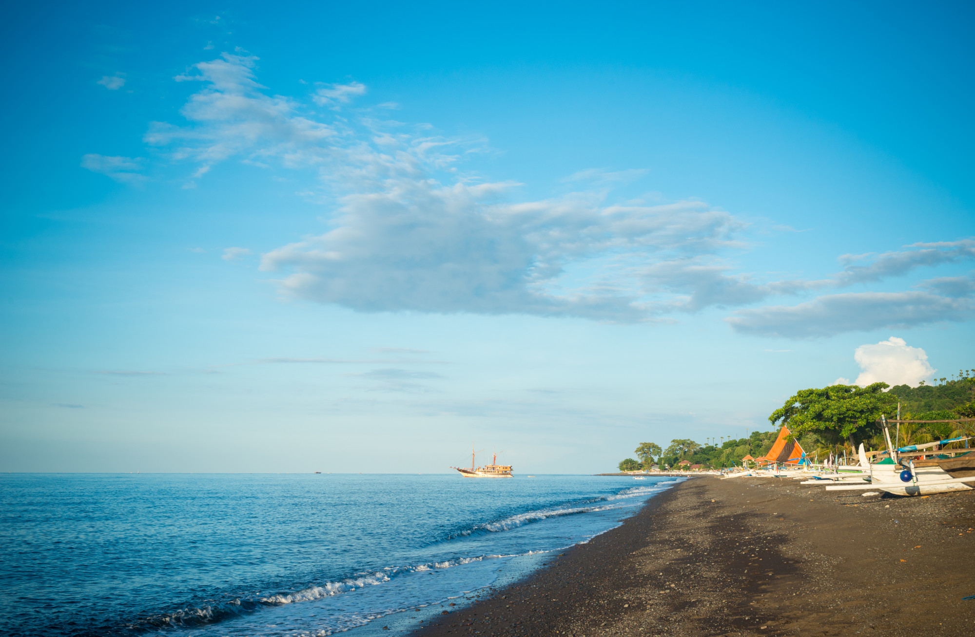
As a dive leader, you need to be familiar with dive sites that you lead groups into. You will also be called on to use dive maps. Dive maps are especially handy during pre-dive briefings. They provide the group with knowledge of the layout, depths, distances as well as entry and exit points in the dive site. They help the dive group understand the currents as well as possible hazards in the site.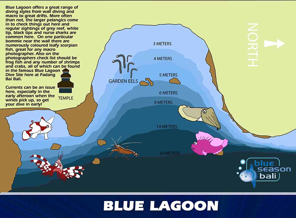
A dive map can help you increase the safety of the dive by pointing out possible hazards and features that the dive team should look out for.
Easy dive map
You can easily make a dive map using the following material:
- Tape measure – use a 30m reel to measure distances
- Large slate – use one with that is pre-printed with grid markings
- Secure buoy – to mark the central point. You’ll be measuring all distances from this point
- Compass – to draw intersecting arcs for distance
Making your map
- Draw a quick sketch of the dive site on the slate. You can do this from memory. You will add measurements and set parameters later.
- Select a central point within the site. This is the point of reference for all subsequent measurements. Set your buoy and attach your tape measure to begin measuring distances.
- Swim from the buoy out. Use a U search pattern in order to cover a larger area.
- Using kick cycles, measure the distance between prominent features. Determine the number of kick cycles you take to get from one end of a 10m line to the other. You can use this figure to convert your kick cycles into distance measurements, e.g. meters, as you move from one feature to another. You should also note the depth.
- When you get to a feature, note your bearing from the central point. Use your compass to mark this on the rough sketch. Use features that are prominent and cannot be easily missed on the dive. Features should also include potential hazards. Entry and exit points should be marked for both shore and boat diving.
- Make a note of the depth of the bottom for every 5 meters travelled. This will help you in constructing contour lines when drafting your final map.
- Note any topside features including evacuation areas, car parks or the position of emergency services and note these on your map.
Draw the final version of the map based on the information gathered.
Sign up for your Divemaster Course to learn how to map any dive site – including some of Bali’s best dive sites.